Have you heard about geospatial analytics before? Geospatial analytics is a method to gather, manage and display the GIS information. Moreover, geospatial analytics let you manipulate the imagery data, including satellite and GPS photographs.
However, the geospatial data analytics lies at the intersection of a specific identifier and geographic coordinates like zip code and street address. The geospatial analytics also help you to visualize data for modelling and predicting new trends more efficiently. Here in this article, we will provide you with every possible information regarding the geospatial analysis.
Stay tuned…..
Understanding Geospatial analytics
Geospatial analytics helps build data visualization by using social media, location sensors, satellite imagery and GPS. Further, data visualization will let you understand trends in the relationship between people and places.
In simple words, it will help you to understand where things happen and why they happen there. This analysis will let you know what is happening on earth.
Geospatial analytics will let you create geographic models such as cartograms, graphs and maps. However, these models will help you predict trends like current shifts and historical changes more accurately.
Additionally, it also comes with timing and location types of data. This addition will provide you with a complete and accurate picture.
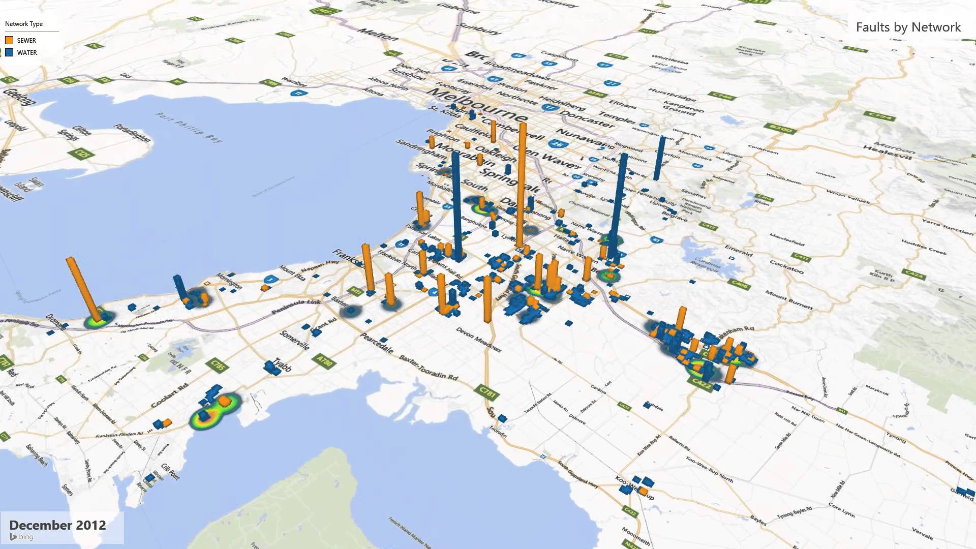
However, the best thing is that it will convert massive spreadsheets into easy-to-recognize visual patterns and images. With the help of geospatial analytics, you can interact with billions of mapped points.
Moreover, it will allow you to look at the real-time geospatial visualization. You can now explore data across time and space to understand where things get changed and why things get changed from day to years.
Advantages of Geospatial analysis
As we all know, the geospatial industry is growing day by day and involved in creating solutions for business and real-world problems.
Nowadays, almost everyone is using geospatial analytics to visualize data. Moreover, it is helping them to understand population forecasting and weather modelling.
However, geospatial analytics will also convert massive traditional spreadsheets into easy-to-recognize visuall patterns and images.
Information in the form of visual patterns and images are easier to understand by the human brain. Similarly, it is easier for a student to understand visually on a projector instead of old-school notebooks.
Most of the patterns like proximity, distance, affiliation and contiguity get hidden by your eyes under massive datasets. So that is why geospatial analytics will let you recognize these patterns.
The geospatial analytics will let you build a data visualization that will help you understand why things get changed over time and where they are changing the most.
Let us look at some more advantages of using geospatial data in analytics.
- It will let you build geospatial models like visual maps that will make it easier for your brain to understand the trends such as current shifts and historical changes. However, it will also let you know how to react to these trends.
- Addition of location-based data in geospatial analytics will help many organizations understand why some places are successful in business.
- Geospatial analytics will let you know about changes happening in real-time. So you can prepare yourself for these changes and determine your future actions.
Applications of Geospatial analytics
Let us find out some applications of geospatial analysis.
1. Weather
Geospatial analytics is helpful to visualize wildfires and hurricanes for more efficient expulsion alerts. However, it will also help many insurance companies to assess property risk.
2. Telecommunication
Geospatial analytics is helpful to visualize call details and network logs. If there is any fluctuation in signal strength, geospatial analytics will help telecommunication companies to understand the irregularity and fix it.
3. Urban planning and development
Geospatial analytics will let you visualize massive datasets more efficiently to determine the effect of a growing population on energy, housing resources and transportation.
Moreover, it will let you know how health, education and crime outcomes vary by locations by compiling information from many resources.
4. Milliatry
It will provide a real-time view of situational awareness to the military and help them access infrastructure and predict maintenance needs.
Wrapping up
We hope you get every possible information about geospatial analysis from this article. However, geospatial analytics helps any people to interact with billions of mapping dots. It turns the massive spreadsheets into easy-recognize visual patterns and images that will be easier for your brain to understand.


